


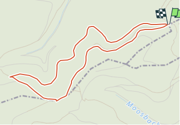

4.6 km | 5.2 km-effort

Tous les sentiers balisés d’Europe GUIDE+


FREE GPS app for hiking
 SityTrail
IGN / Geographical institutes
SityTrail World
The world is yours!
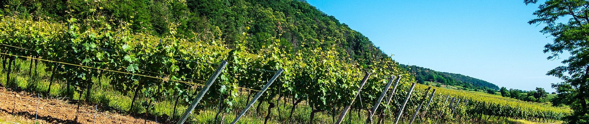
Trail On foot of 5.3 km to be discovered at Rhineland-Palatinate, Landkreis Bad Dürkheim, Forst an der Weinstraße. This trail is proposed by SityTrail - itinéraires balisés pédestres.
Trail created by Pfälzerwald-Verein.
unklar, wie der Weg genau heisst und wo er entspringt
Symbol: schwarze 6 auf weißem Grund


On foot

On foot

On foot
On foot

On foot
On foot

On foot